Garden from Above
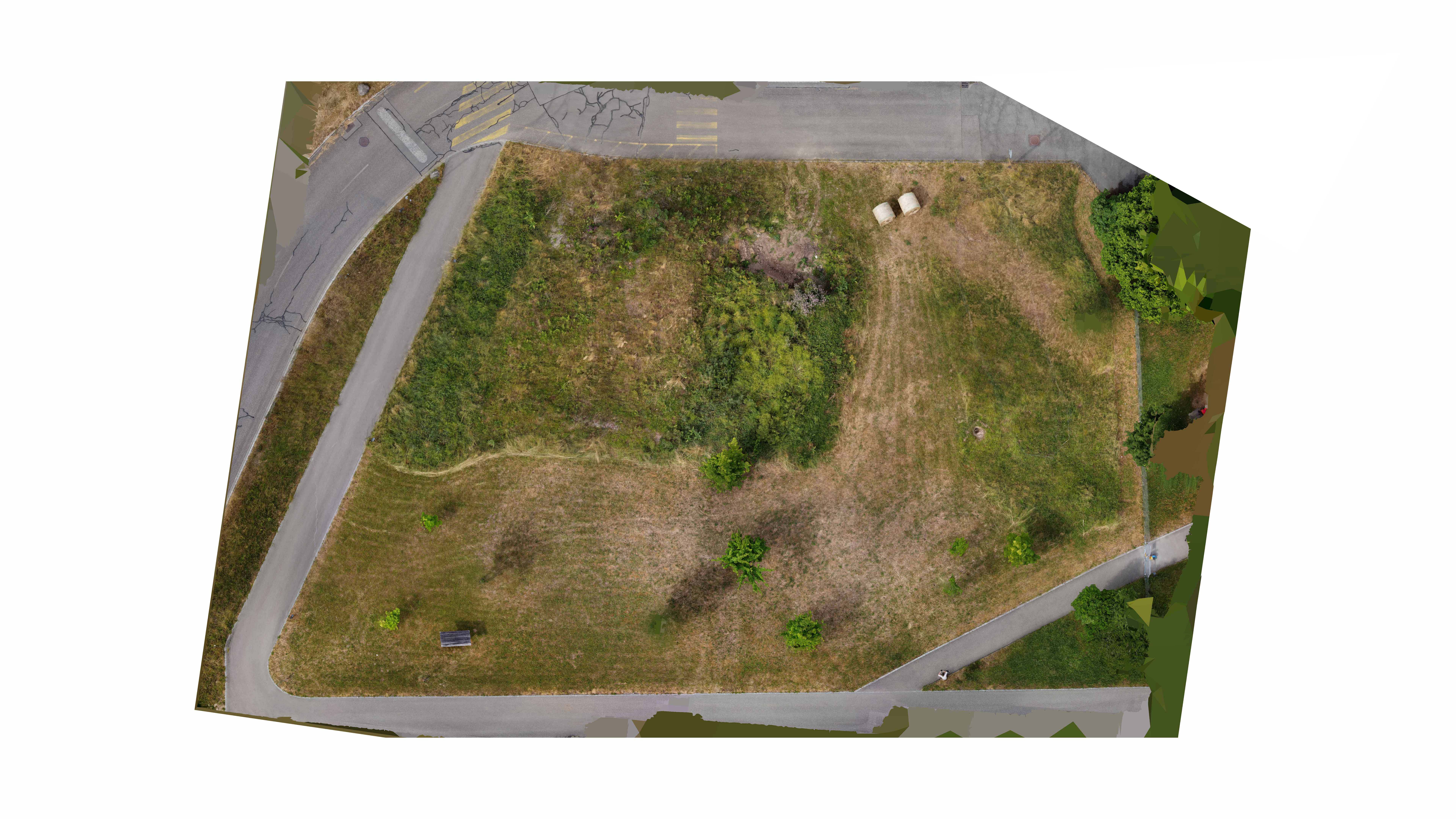
We have used a drone to document the garden from above at different times of the year and create an up-to-date aerial image that can be used to plan the garden interventions. So far, we've done this three times. For the first two sessions, we used photogrammetric scans, which allowed us to create a digital model of the site. We were also able to draw up sections based on this model. For the last session, we only used a photo camera installed on a drone.


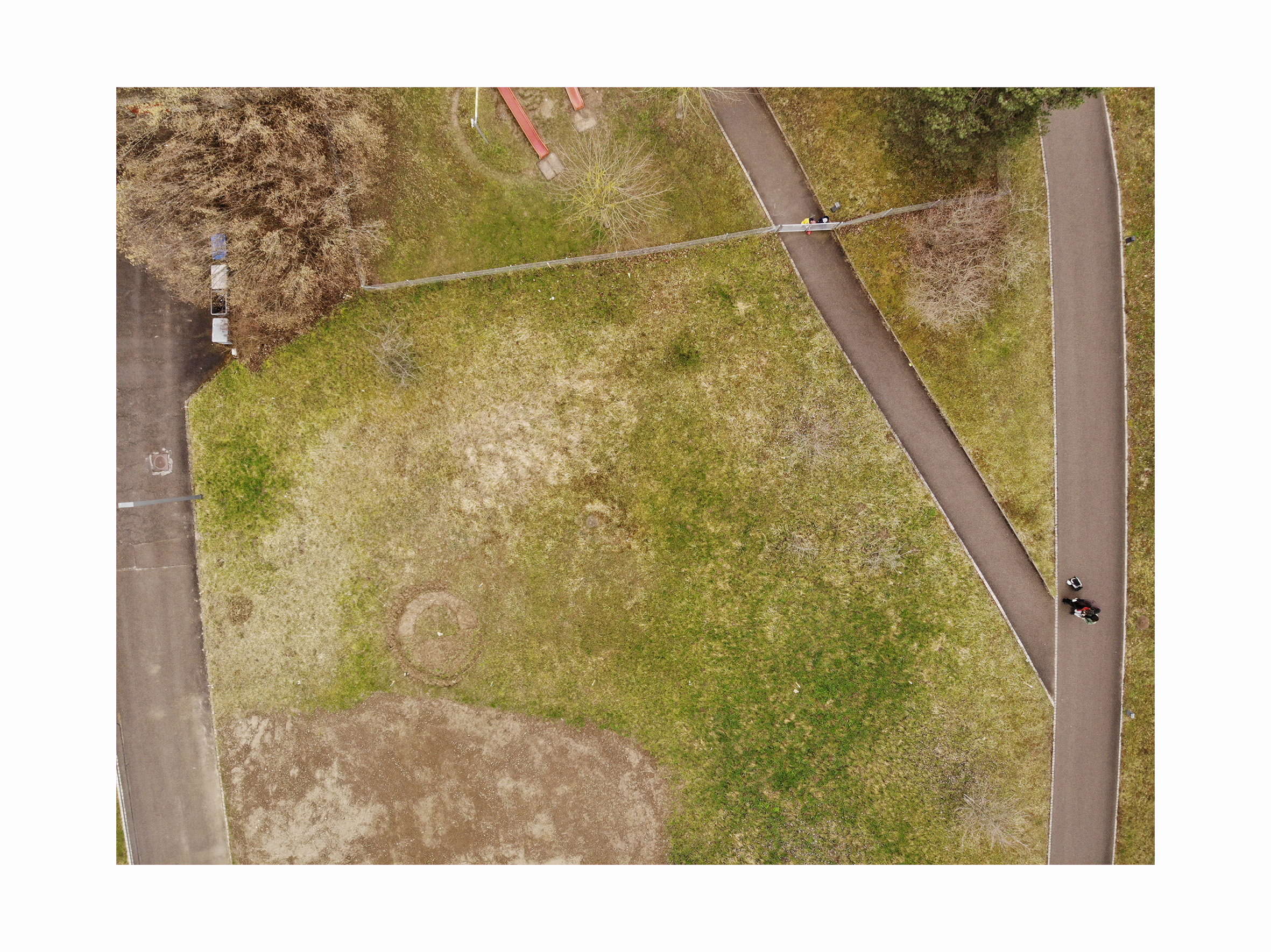
Drone photograph from March 2023, Chair of Being Alive, 2023

Drone photograph from July 2023, Chair of Being Alive, 2023


Drone photograph from February 2024, Chair of Being Alive, 2024
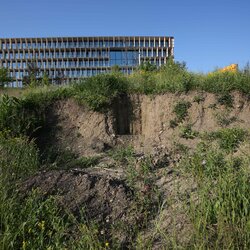
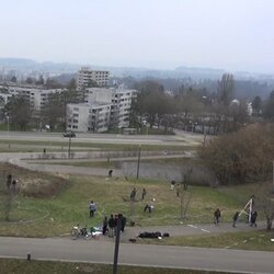
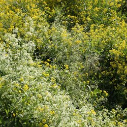
The first section shows an aerial view of the garden at the beginning of March 2023, shortly before we started work on the site. The second section shows an aerial view from mid-July 2023, shortly after the first mowing - both the topsoil deposit and a piece of open grassland have not been mowed. The image is from May 2023 and shows some of our tracks. The third section shows the garden at the end of February 2024.
We can make different conclusions by looking at the drone images. Firstly, we can learn something about the types of soil and vegetation, because the colors in particular look different from above. Secondly, regular drone images give us a useful documentation of the land and our interventions. For example, we can clearly see the circular disturbance, made by one of our students, and hopefully we will also see how it develops in the future.